Aviation navigation
for sports flying with extensive equipment for safer flight.

NOTAMs
Display of NOTAMs for FIR and around the route
Widgets
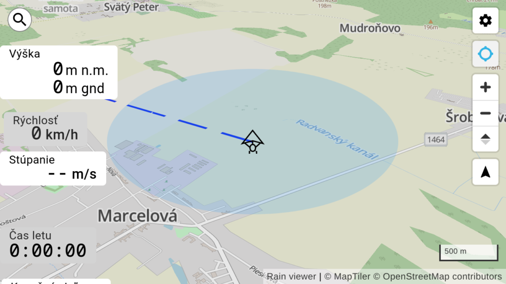
Display of altitude, speed, length of flight, time to destination and others with the option of moving the widget around the screen
Points and routes
Own saved points and routes for quick navigation to favorite places
Terrain
Display 3D terrain and calculate flight height using terrain height
Other properties
- Radar – display of rain and clouds on the map with the option of setting transparency
- Aviation areas with the option to view details from the openAIP database
- Airports with the option to view details from the openAIP database
- Display of the aircraft position in a direct direction for a defined time
- It uses the modern framework map libre and angular, it is completely open-source
- Navigation through multiple points
- Widgets for speed, height, variometer
- Widgets for navigation – time to next point, time to destination, flight length
- Control of navigation with a gamepad in case of wearing gloves and impossibility to control the touch screen
- Searching for airports, saved routes, saved points, addresses
- Possibility to install navigation directly from the web browser using PWA technology
- Ability to enlarge letters
Video instructions
Tutorial with presentation of basic navigation functions.
Visit our YouTube channel for more video tutorials with all current navigation functions.